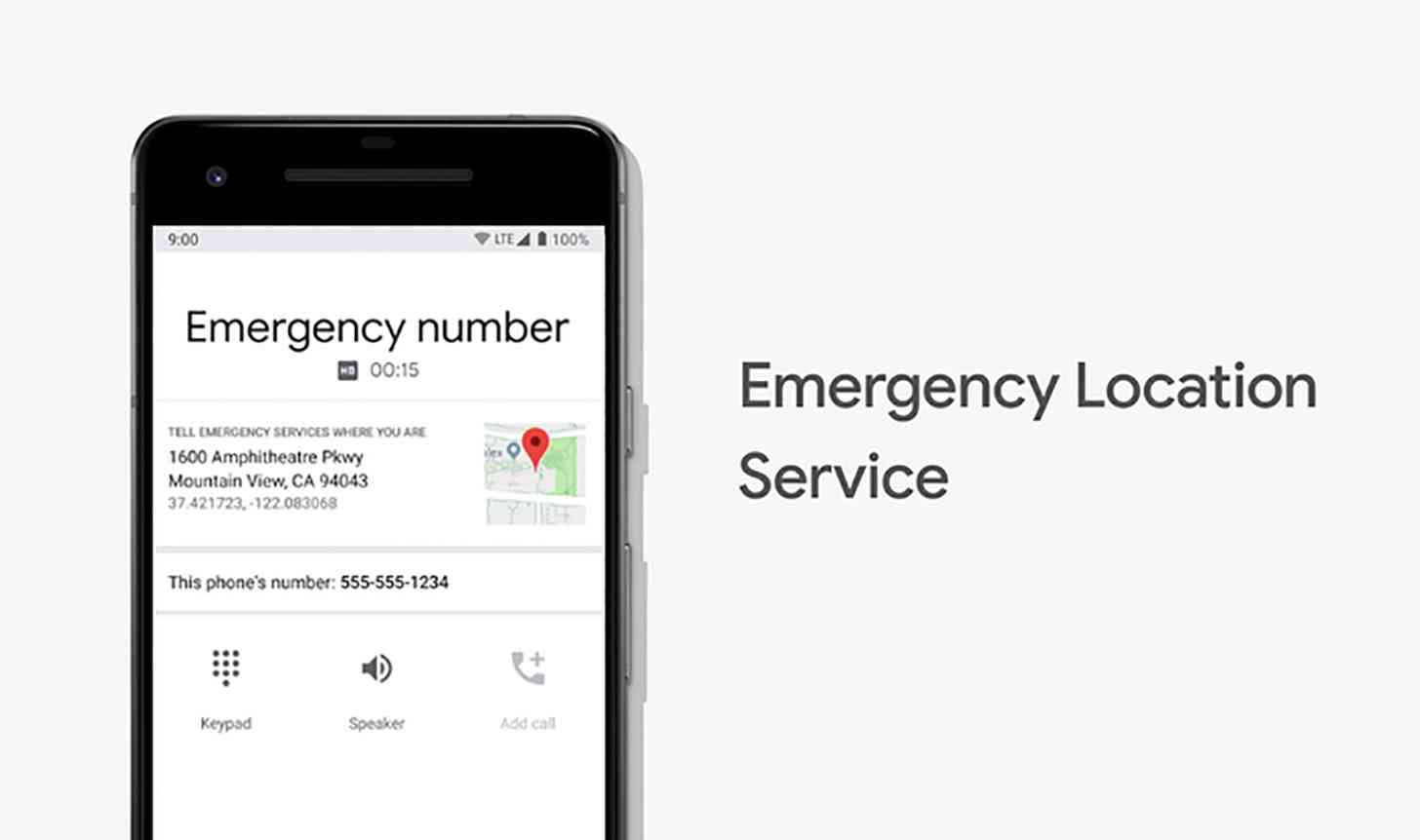
Google is working to make 911 caller location data better in the U.S.
Google today said that it's launching its Emergency Location Service (ELS) in the U.S. This technology sends more accurate location data to emergency communications centers when an Android device makes an emergency call. It uses a combination of GPS, Wi-Fi, mobile networks, and sensors, giving you a similar location to what you'd get using Google Maps.
ELS is supported on devices running Android 4.0 Ice Cream Sandwich or higher, meaning it works on 99 percent of Android devices. It activates where it's supported by your carrier or emergency infrastructure provider. ELS doesn't require a separate app, an OS update, or any special hardware to work. The location data is computed on your device and sent to emergency providers when you call an emergency number, and the data doesn't pass through Google servers.

Google is working with RapidSOS, West, and T-Mobile to launch ELS in the U.S. T-Mobile customers with Android phones can have their location data sent quickly to emergencency call centers when they dial 911. T-Mo had a way to share location info with emergency centers before, but ELS helps to deliver more accurate location info faster than before. Google says that in testing, ELS decreased the average radius that a caller might be located in from 522 feet to 121 feet.
T-Mobile has been working with Google on implementing ELS for four years.
Google also notes that it's launched ELS in the U.S. Virgin Islands through partnerships with West and regional wireless carrier Viya.
The launch of Google's ELS tech in the U.S. is great news for Android users. 911 location data has long been an issue with cellphones, and it's becoming an increasingly important issue to solve now that more people are using smartphones as their only means of communication.