Google Maps has long offered navigation for different modes of travel, including cars, bikes, transit, and on-foot, but now it's getting better at combining those different kinds of travel into a single list of directions.
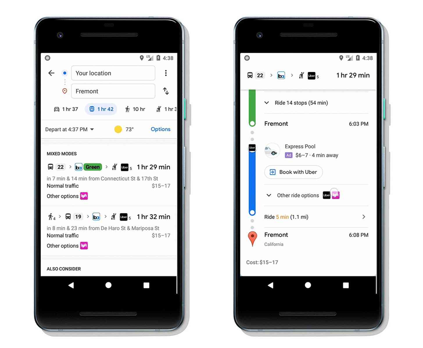
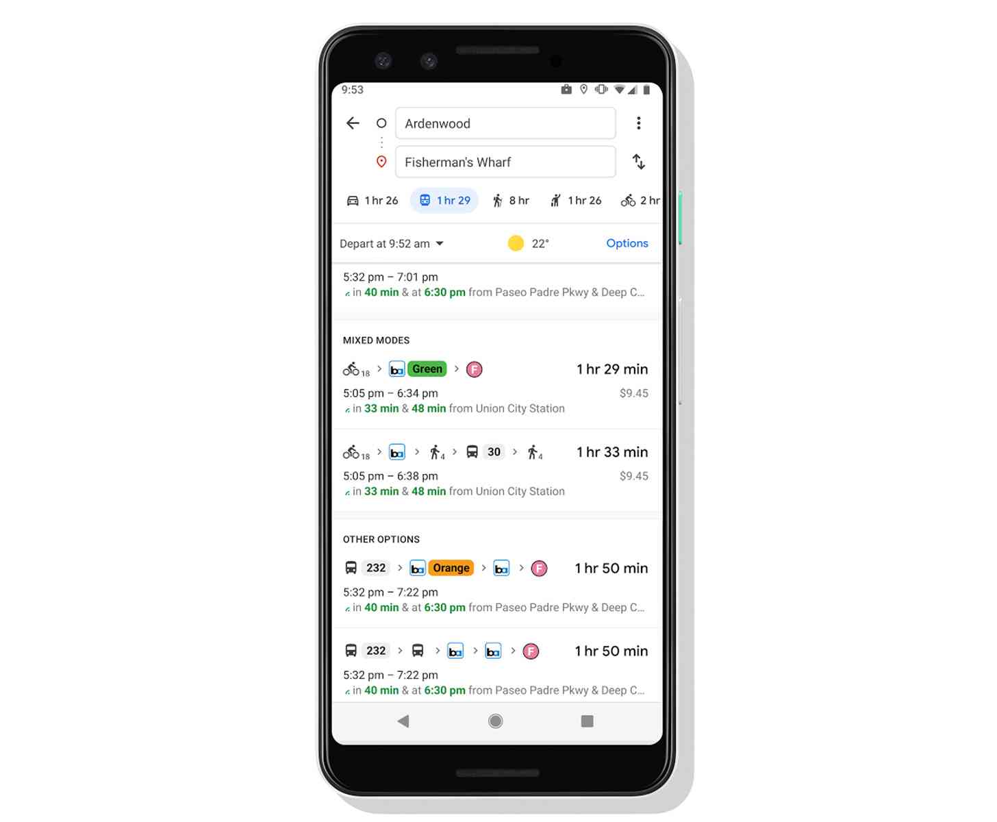
Starting today, Google Maps can combine transit directions with biking and rideshare travel. When you enter your destination into Google Maps, tap on "Directions", and go to the transit tab, you'll see route options that include ridesharing and biking in combination with transit.
If you're using a rideshare service, you'll see info about each leg of your trip, including how much your ride will cost, how long the wait is, and when your bus or train will depart. You can also choose your favorite rideshare service as well as pool or economy options.

Folks who are riding a bike will see routes tailored for cycling as well as all of the transit info you'll need for your trip.
The combined transit directions with biking and ridesharing will start rolling out in the coming weeks. They'll be available on both Android and iOS and will initially arrive in 30 countries around the world, with more being added soon.