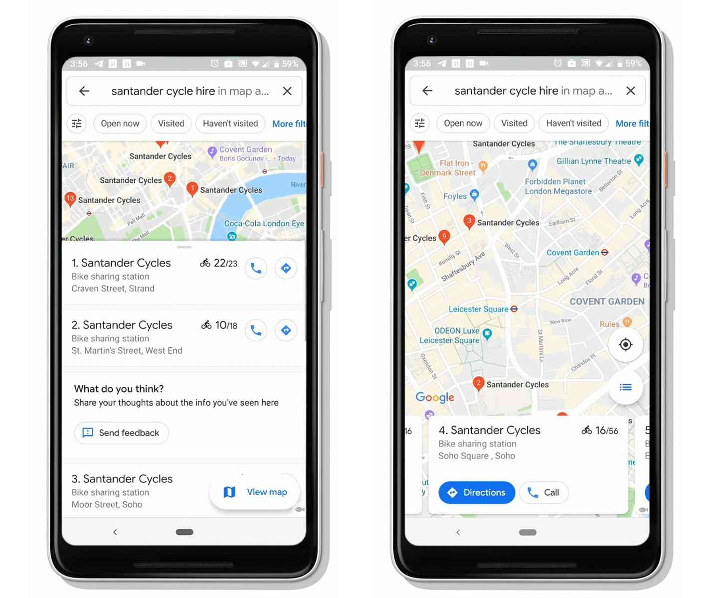
Bikeshare services are a popular way for folks to get around in cities, letting people quickly get from point A to point B without having to own and store their own bike. Now Google Maps is getting better support for these services.
Google Maps can now show the location of bikesharing stations as well as exactly how many bikes are at a station in real-time. This feature has actually been in testing in New York City for the past year, and now Google is rolling it out to a total of 24 cities in 16 countries.
The cities that now have this Google Maps bikesharing feature are:
Barcelona, Berlin, Brussels, Budapest, Chicago, Dublin, Hamburg, Helsinki, Kaohsiung, London, Los Angeles, Lyon, Madrid, Mexico City, Montreal, New Taipei City, New York City, Rio de Janeiro, San Francisco Bay Area, São Paulo, Toronto, Vienna, Warsaw, and Zurich
This feature can make planning for getting around a city much easier. Not only can you now locate the closest bikesharing station with Google Maps, but you can also see if there are bikes available for you and your friends at a particular station. This can save you the trouble of having traveling to a nearby bikesharing station only to find that no bikes are there.
Do you ever use bikesharing services?