Google Maps has long offered public transit info, helping you to find the correct bus or train to get where you want to go. Today Google announced that it's making that feature even better.
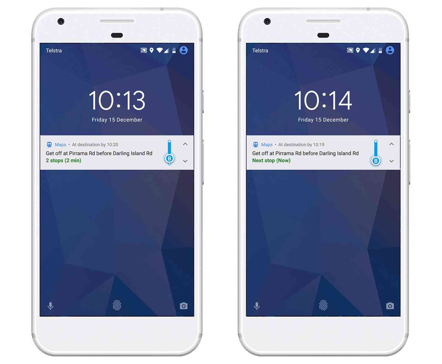
Google Maps on Android will now tell you when to transfer to get off your bus or train. The app uses info like departure times and ETAs and can give you a notification when it's time to move. You can also track your progress while you're riding, just like in driving, walking, or biking directions.
You can check out this new feature by going into Google Maps, typing your destination, selecting transit directions, and then choosing your preferred route.
Many people like to pass the time while riding a bus or train by doing something like listening to music, reading, or playing a game. The problem is that sometimes you get so wrapped up in what you're doing that you forget to keep an eye out for your stop. This new Google Maps feature will help you avoid that problem, giving you an alert when it's time to get off your bus or train.
How often do you use Google Maps transit directions?